May 23, 2016: We climbed out of Chiapas after the van’s long rest, getting back onto Mexico’s high plains on Friday, May 13. Superstitious? We aren’t.
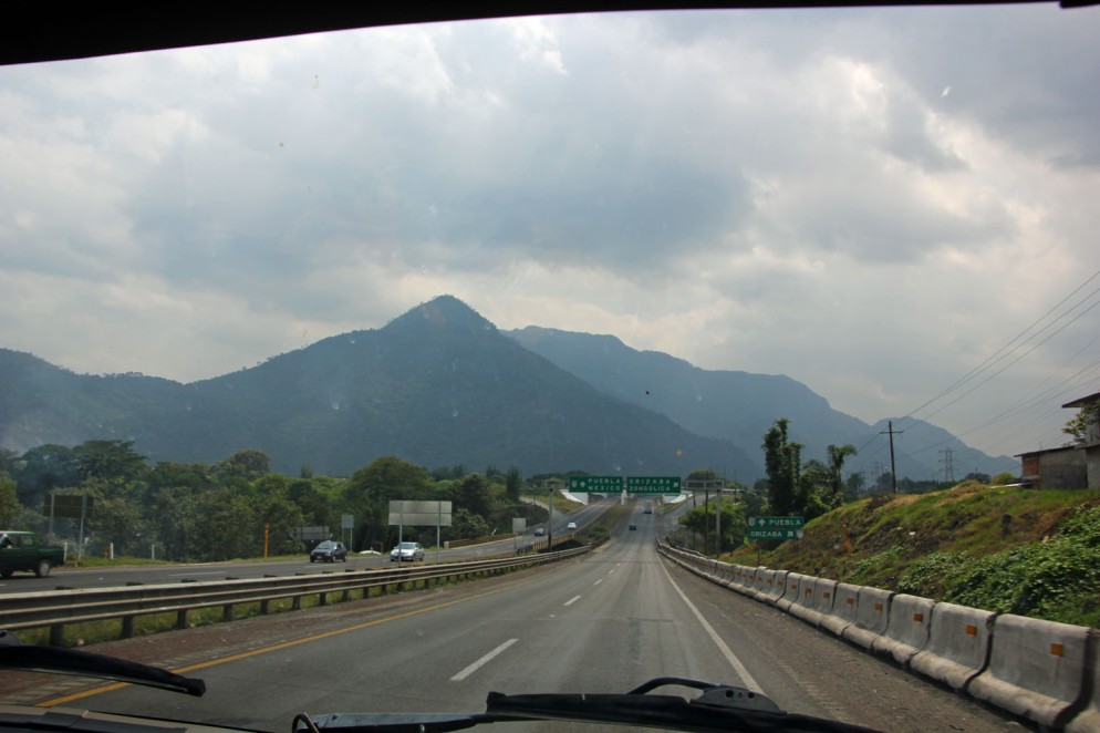
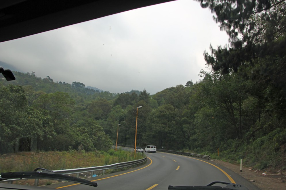
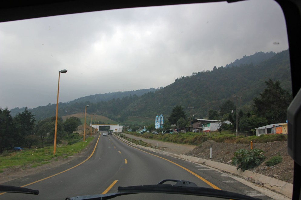
Fairly early in the morning, we left Tuxtla Gutierrez and its polluted valley, and ascended into the cloud forest on a fairly new, fairly deserted, and wonderfully smooth highway: [click pictures to enlarge]
")
")
")
")
")
")
")
")
")
This new route north from the heart of Chiapas is made possible by the completion of the Chiapas Bridge, opened in 2004:
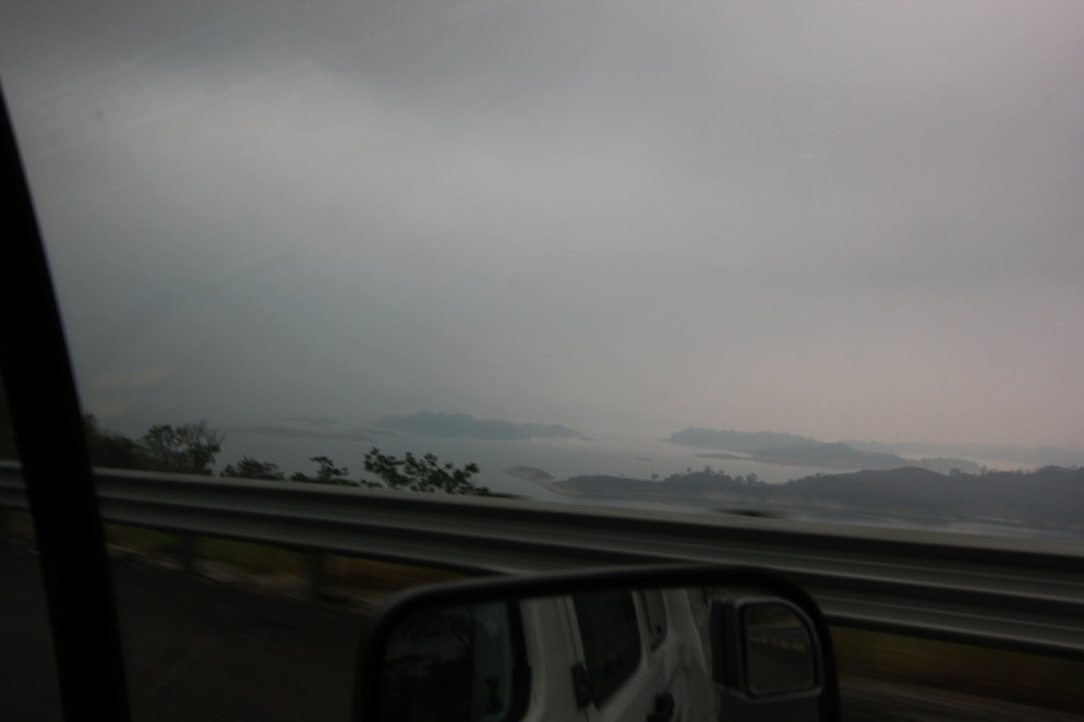
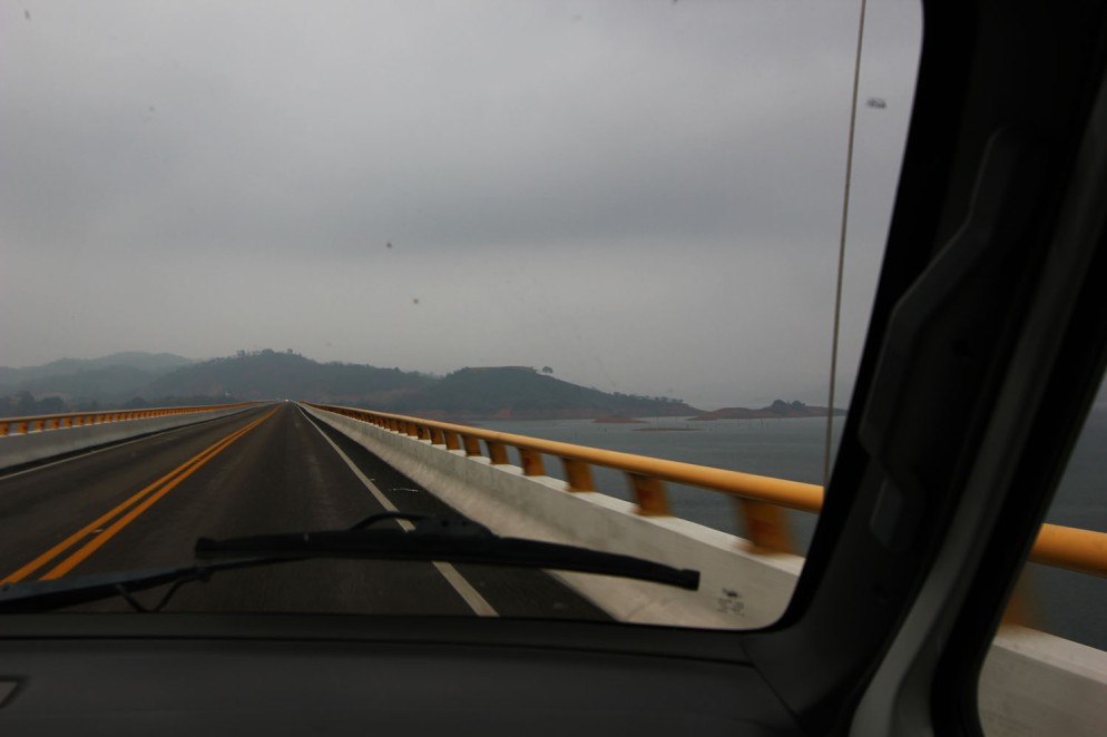
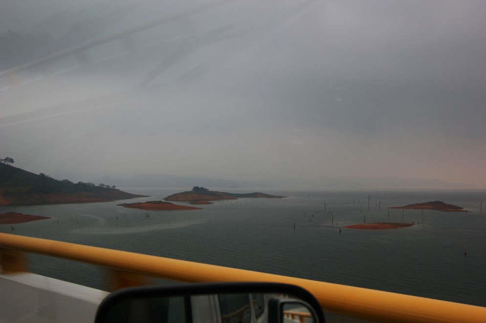
The bridge shaves 3.5 hours of very mountainous driving off the previous best route between Tuxtla and Mexico City.
Once we got to the Gulf coast lowlands, we returned to Veracruz’s crappy, pothole littered highways:
")
")
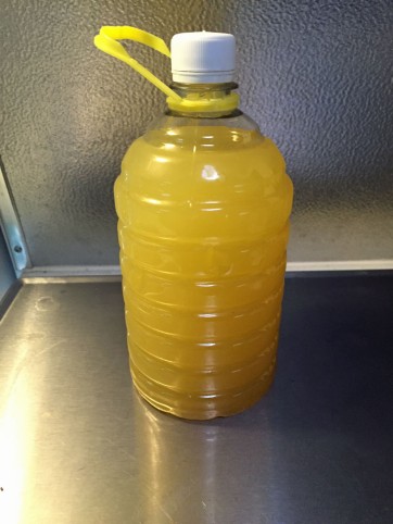
One silver lining to driving in Verzcruz is that virtually every highway overpass is an improvised pineapple store:
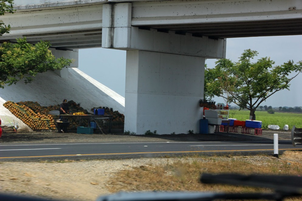
You can buy whole pineapples, or get it sliced up with various (mostly savory) toppings, or just buy a liter of cold, fresh juice:
Some overpass stands are selling mangos and other goodies, but Veracruz seems to specialize in pineapples.
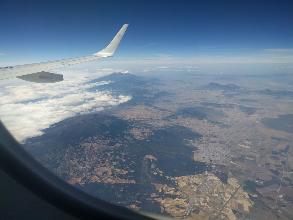
After a short, uncomfortable drive through Veracruz, we arrived at the foot of the mountains leading to Mexico’s high central plain:
We described the descent from the plains early in our adventure. It’s a huge change in elevation, and we were anxious to see how the van would handle it going back up. Spoiler: perfectly.
In the picture below, you can see the layout of the topography. We are looking roughly south, and the peak in the distance is Pico de Orizaba, topping out at 18,491 ft (5,636 m). Everything covered in clouds to the left is the coastal lowlands. To the right, everything you see is at well over 7000 ft (2134 m). The highway climbs to the high plain just to the south of the Pico.
We started to climb in earnest:
Along the road, a village with an attractive little church, at relatively high altitude:
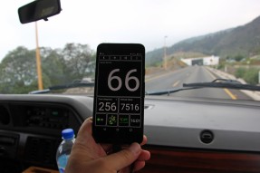
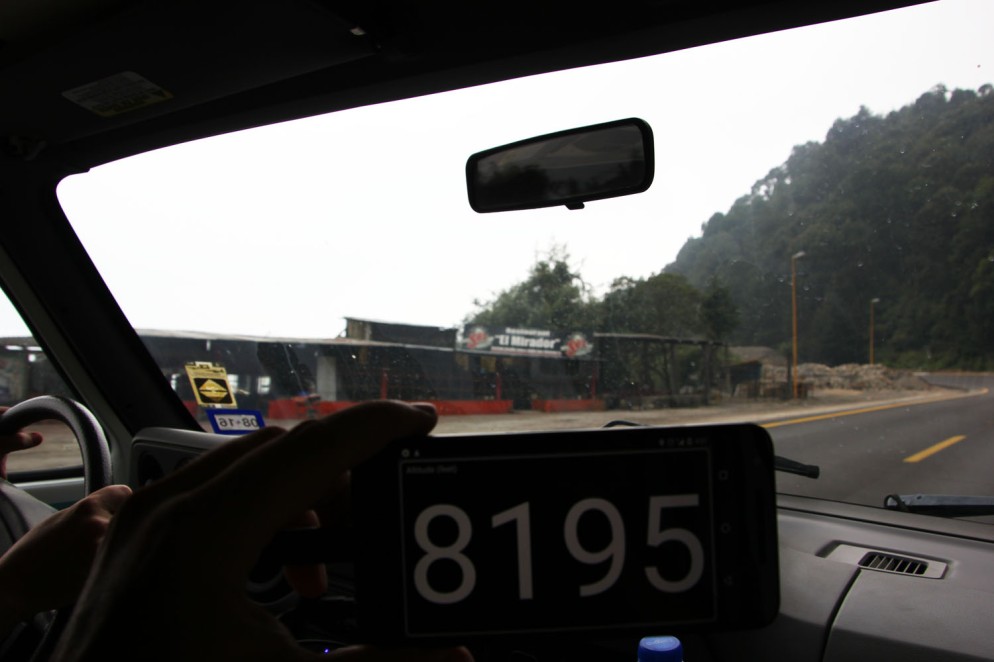
We weren’t sure how high the road actually went, so it was kind of fun to watch the numbers rise.
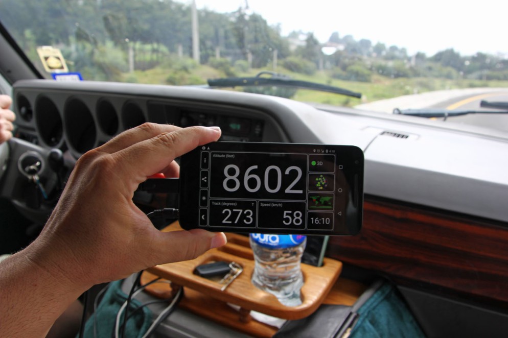
Finally, we reached the top, somewhere around here:
And there’s not really much of a drop off on the other side. We descended only a couple of hundred feet before leveling off on the plain, gradually sloping toward Puebla, 85 miles (137 km) away, at an altitude of approximately 7100 ft (2150 m).
On the Northwest edge of Puebla is the town of Cholula where we ended our journey for the day after about 8.5 hours and 450 miles.
Here’s the route, which you can also find on our travel maps page:
We’ll tell you about Cholula next time.

Glad the el coche us up and running. Can’t wait to see your next adventure.
LikeLiked by 1 person